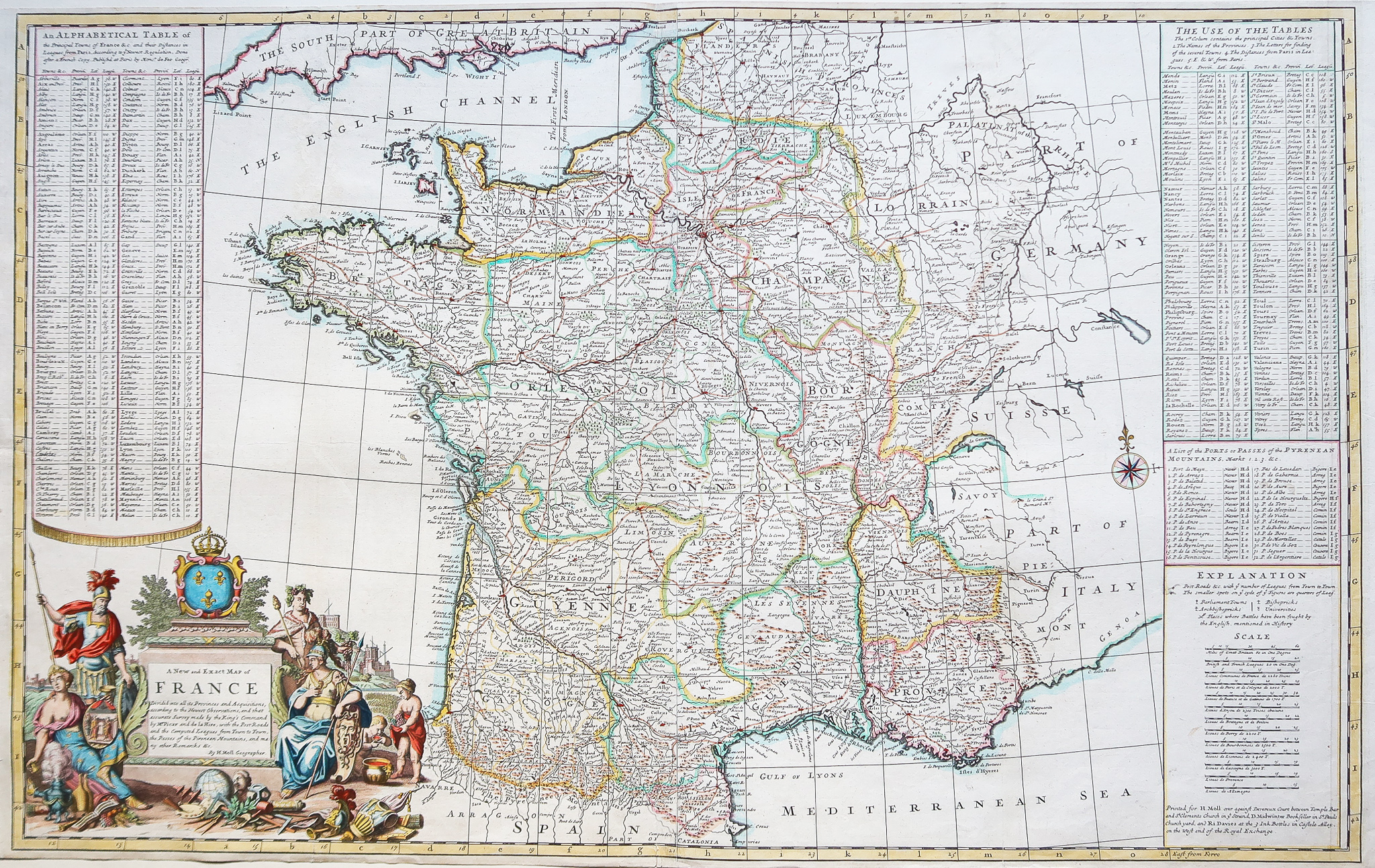
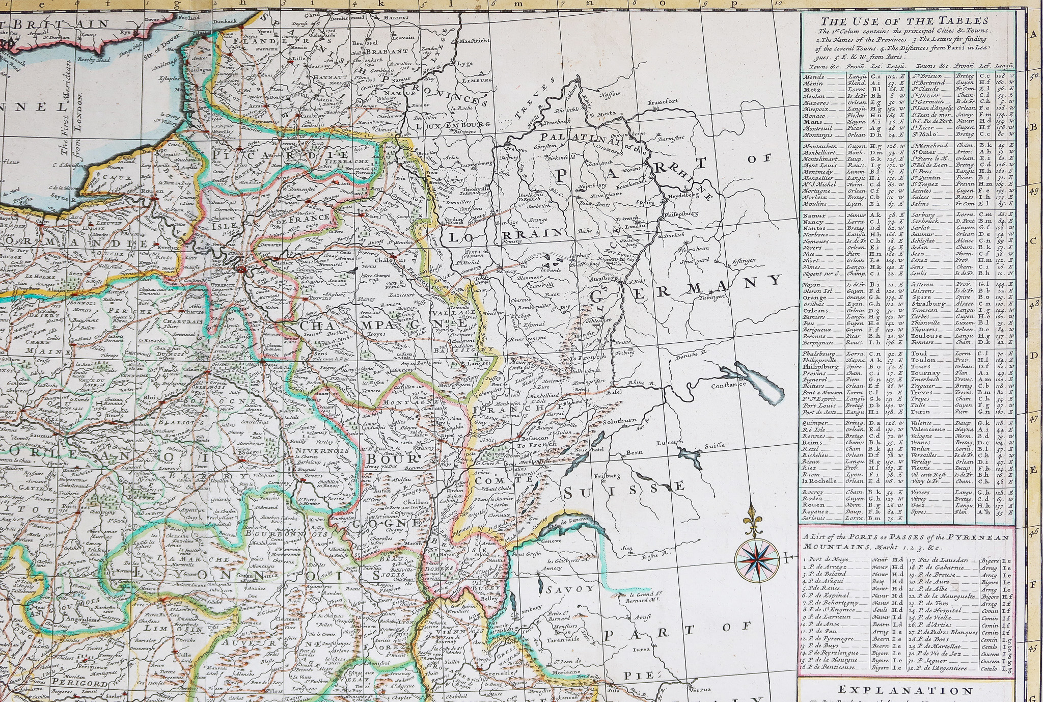
A new and exact map of France
Very large original proof engraved in 1700. H. Moll geographer.
Watercolor colors.
Very good state.
Sheet size: 102 x 62.5 cm.
Original antique map of 1710.
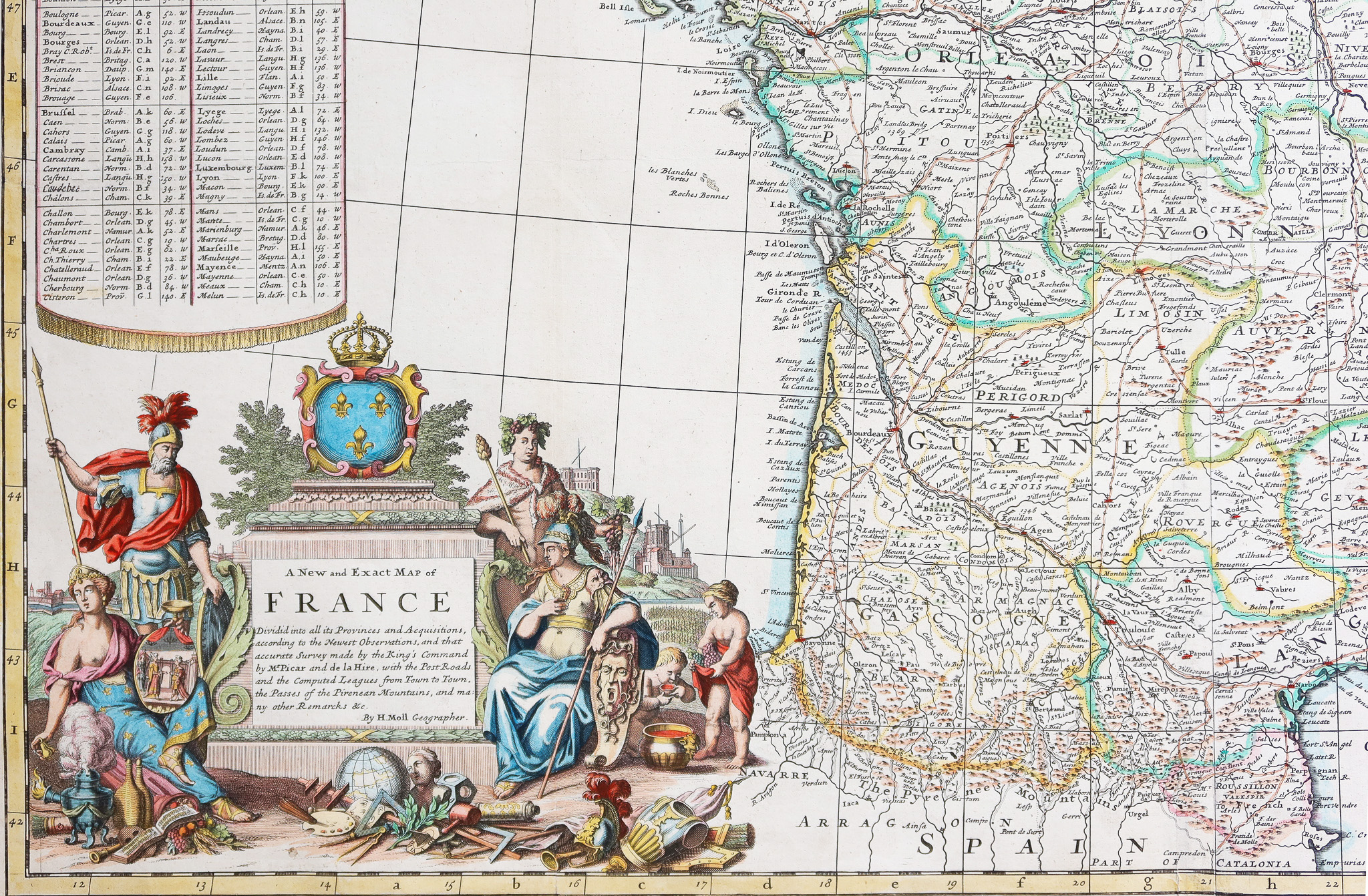
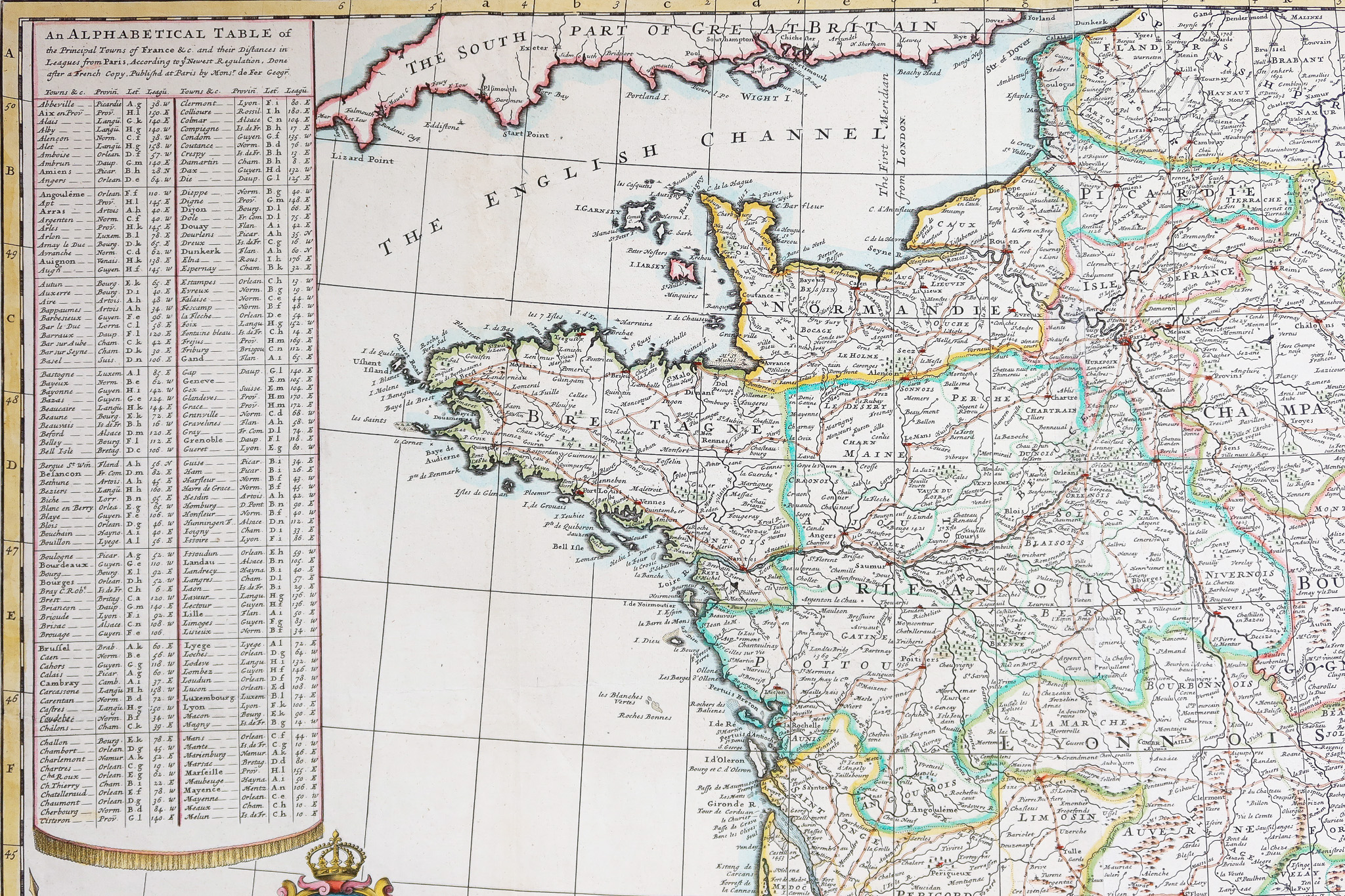
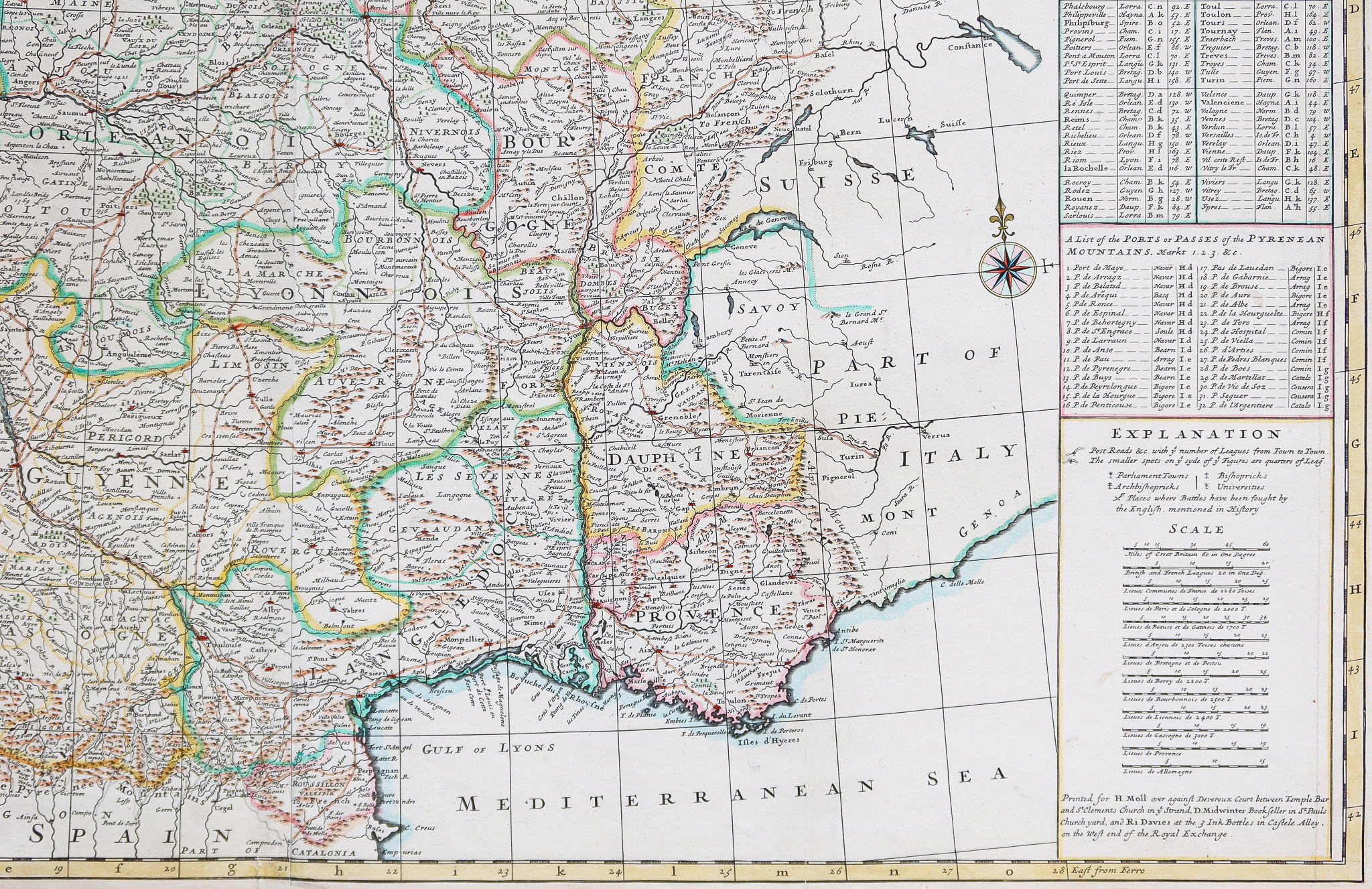
Very beautiful map of France published under Louis XV. Moll, English cartographer, draw up a very detailed map of France here. Large tables list 280 cities with their distance from Paris. Particularly surprising, we also find a table showing 39 routes and passes crossing the Pyrenees. Large decorative title cartouche.
You can consult all the maps, books and engravings available in your region by clicking on the link of our website specializing in ancient geographic archives:
https://cartes-livres-anciens.com/categorie-produit/cartes-geographique-anciennes-original-antique-maps/france/france-generale/
Secure payment by credit card on our website:
https://cartes-livres-anciens.com/produit/cartes-geographique-anciennes-original-antique-maps/france/france-generale/carte-geographique-ancienne-de-la-france-antique-map-2/
All our maps and engravings are accompanied by a certificate of authenticity.
Herman Moll 1654 - September 22, 1732
He was one of the most important London cartographers of the first half of the 18th century. His painstaking work quickly helped him become a member of a group that met at Jonathan's Coffee House at Number 20 Exchange, Alley, Cornhill. Place where speculators gathered to trade stocks.
Moll's circle included scientist Robert Hooke, archaeologist William Stuckley, authors Jonathan Swift and Daniel Defoe, and a few prominent pirates like William Dampier, Woodes Rogers and William Hacke. From these contacts Moll obtained a large amount of inside information that was included in his cards.